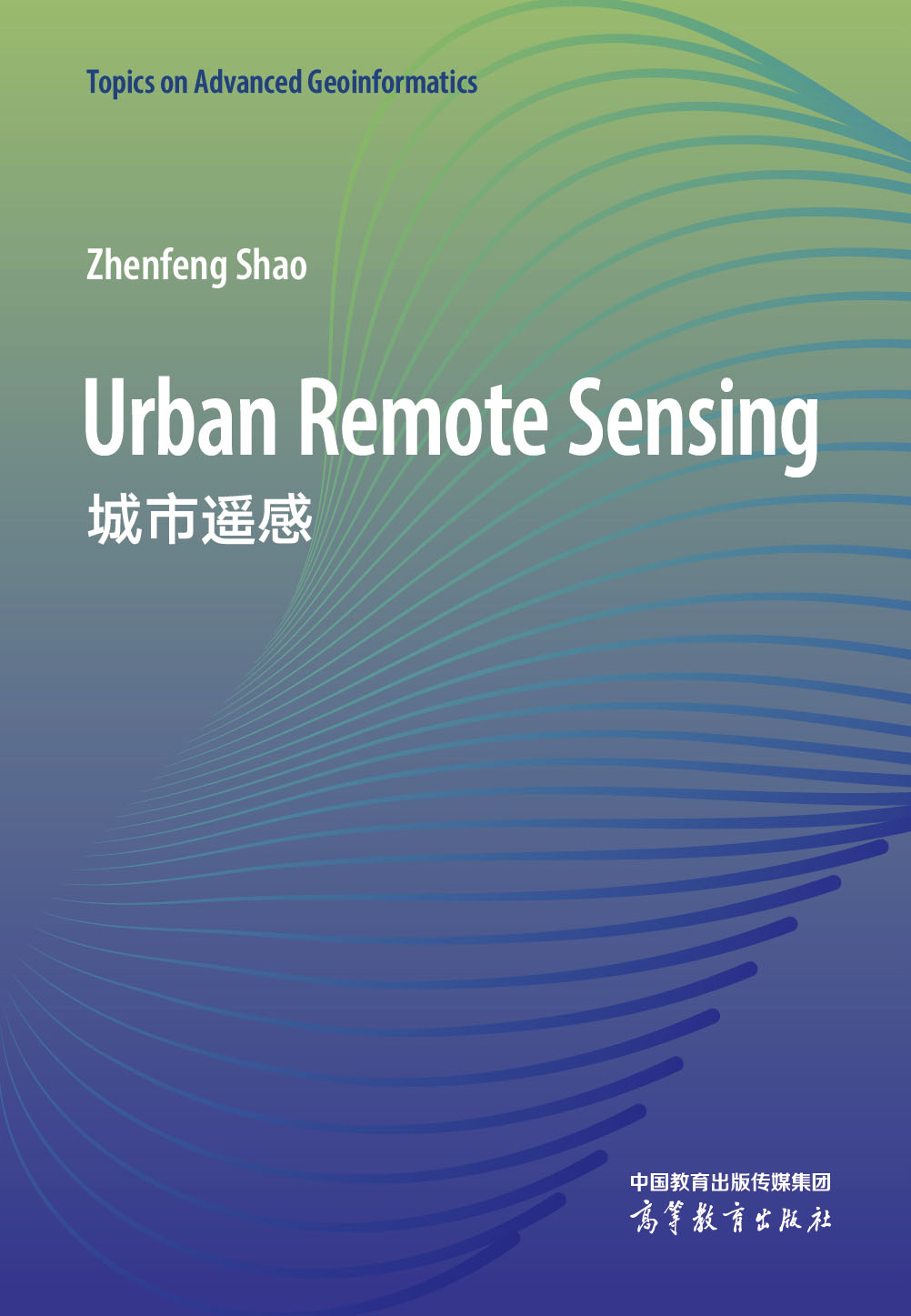
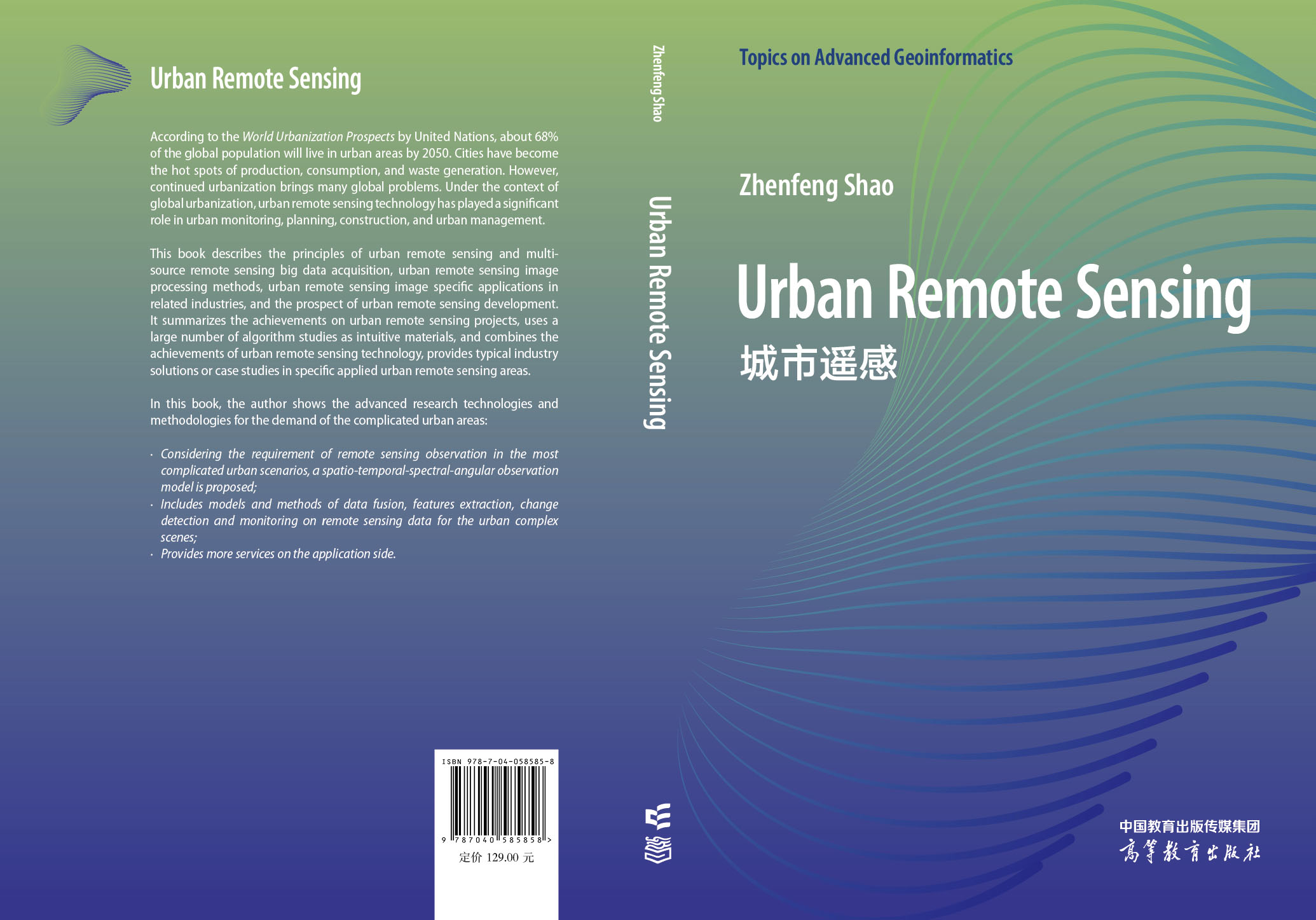
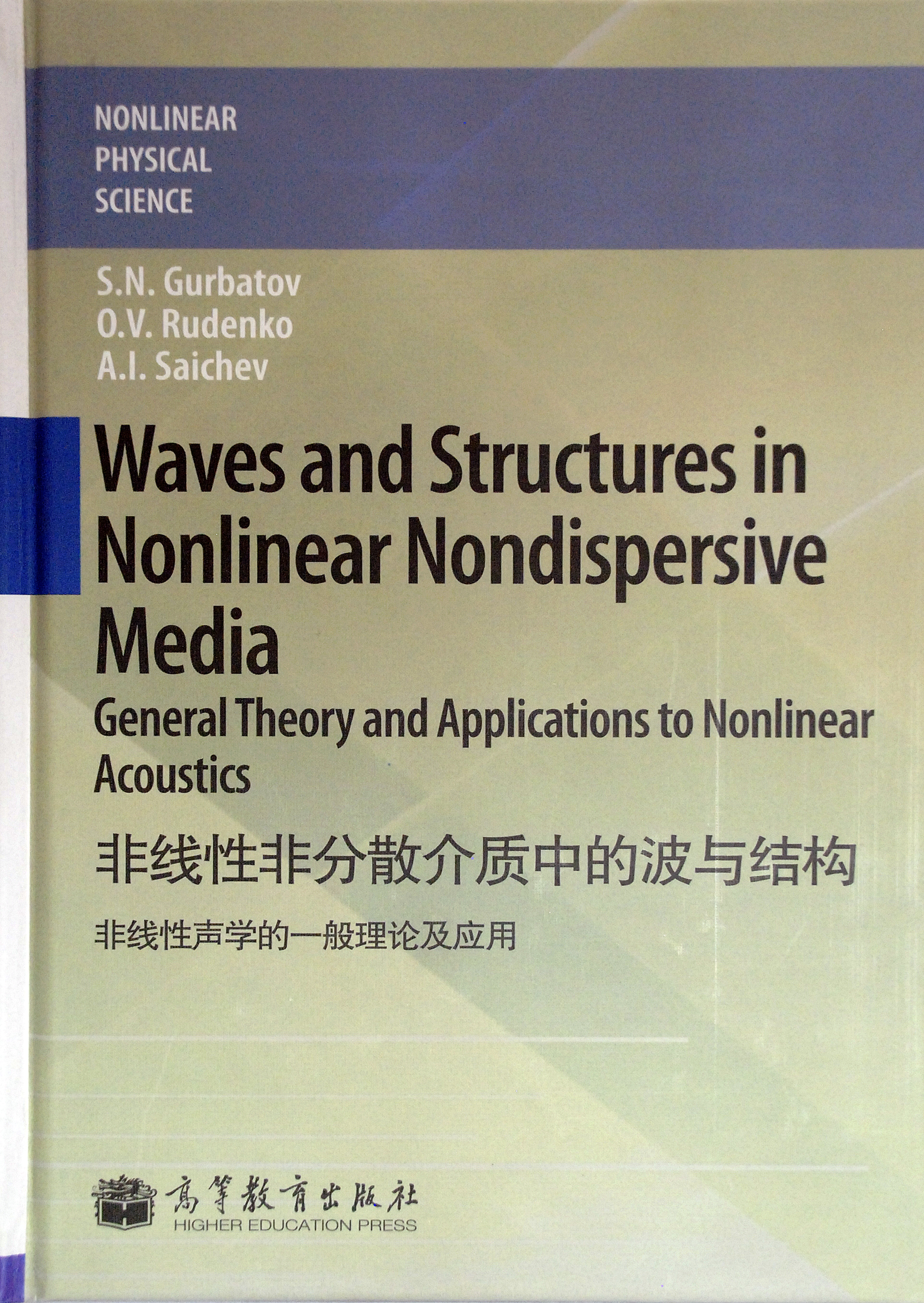
城市遥感(英文版)
作者: Zhenfeng Shao
出版时间:2022-07
出版社:高等教育出版社
- 高等教育出版社
- 9787040585858
- 1版
- 432051
- 48266652-6
- 平装
- 16开
- 2022-07
- 290
- 244
- 理学
- 地质学类
- 地学
- 研究生及以上
在全球城市化背景下,城市遥感技术在城市观测、监测、规划、建设和管理等方面发挥了重要作用。本书介绍了城市多源遥感大数据获取原理、城市遥感图像处理方法和城市遥感在相关行业的具体应用。具体内容涵盖城市遥感现状和发展趋势、城市遥感空天地多平台传感器的数据特性,重点包括城市遥感“时空谱角”观测模型、城市遥感图像解译原理和方法、城市遥感图像预处理和信息提取方法、基于深度学习模型的城市遥感图像处理方法、城市遥感变化检测和动态监测,以及城市生态环境遥感监测技术与实践。
本书内容包括遥感基础知识和城市遥感当前研究方向,可以作为高等院校遥感、测绘、地理信息及相关专业本科生和研究生教材,也可供城市遥感领域的科学工作者参考。
前辅文
Chapter 1 Urban Spatio-Temporal-Spectral-Angular Observation Model
1.1 Urban Remote Sensing Observation Demand
1.1.1 The observation objects of urban remote sensing
1.1.2 The demand for urban application services for remote sensing platform
1.1.3 The demand for sensor diversity in urban remote sensing
1.1.4 Remote sensing platform for various urban applications
1.2 Multi-platform Multi-sensor Collaborative Network Observation Mode of Space-Air-Ground for Urban Service Demand
1.3 Theoretical Model of Urban Spatio-Temporal-Spectral-Angular Observation
1.4 Urban Remote Sensing Observation Services
Questions
References
Chapter 2 Big Data Characteristics of Urban Remote Sensing
2.1 Multi-source Heterogeneous Remote Sensing Big Data with Long Time Series
2.1.1 Urban satellite imagery
2.1.2 Urban aerial imagery
2.1.3 Urban UAV imagery
2.1.4 Urban mobile mapping system
2.1.5 Urban crowdsourcing images
2.2 Data Characteristics of Urban Visible Panchromatic Remote Sensing Imagery
2.2.1 Image characteristics of urban houses
2.2.2 Image characteristics of urban roads
2.2.3 Image characteristics of urban green space
2.2.4 Image characteristics of urban water bodies
2.3 Data Characteristics of Urban Multi-spectral Remote Sensing Images
2.3.1 Data characteristics of urban green space
2.3.2 Data characteristics of urban water bodies
2.4 Data Characteristics of Urban Hyperspectral Imagery
2.5 Data Characteristics of Urban Thermal Infrared Images
2.6 Data Characteristics of Urban Microwave Remote Sensing Images
2.7 Data Characteristics of Urban LiDAR Data
2.8 Data Characteristics of Urban Nighttime Light Remote Sensing Imagery
2.9 Data Characteristics of Urban Crowdsourcing Images
Questions
References
Chapter 3 Principles and Methods of Urban Remote Sensing Image Interpretation
3.1 The Task of Urban Remote Sensing Imagery Interpretation
3.2 The Objects of Urban Remote Sensing Imagery Interpretation
3.2.1 Image spatial interpretation
3.2.2 Interpretation of spectrum space
3.2.3 Interpretation of feature space
3.3 The Mechanism of Urban Remote Sensing Imagery Interpretation
3.3.1 Direct interpretation signs
3.3.2 Indirect interpretation signs
3.4 Methods of Urban Remote Sensing Imagery Interpretation
3.4.1 Visual interpretation
3.4.2 Semi-automatic interpretation
3.4.3 Automatic interpretation based on machine learning
3.4.4 Automatic interpretation based on deep learning
3.4.5 Interpretation of remote sensing big data
Questions
References
Chapter 4 Preprocessing Methods of Urban Remote Sensing Imagery
4.1 Cloud Detection Methods for Urban Remote Sensing Imagery
4.2 Shadow Detection Methods for Urban Remote Sensing Imagery
4.3 Image Enhancement Methods for Urban Remote Sensing Imagery
4.4 Super-Resolution Reconstruction Methods for Urban Remote Sensing Imagery
4.5 Fusion Demands of Urban Remote Sensing Imagery
4.5.1 Spatial-spectral fusion methods
4.5.2 Spatio-temporal fusion methods
Questions
References
Chapter 5 Classification and Information Extraction Methods for Urban Remote Sensing Imagery
5.1 Classification and Information Extraction Demands for Urban Remote Sensing Imagery
5.2 Unsupervised Classification Methods for Urban Remote Sensing Imagery
5.3 Supervised Classification Methods for Urban Remote Sensing Imagery
5.4 New Classification Methods for Urban Remote Sensing Imagery
5.5 Urban Road Extraction Methods Based on Remote Sensing Imagery
5.5.1 Automatic extraction method of urban roads
5.5.2 Road extraction method based on deep learning models
5.6 Urban Building Extraction Methods Based on Remote Sensing Imagery
5.7 Urban Lake Extraction Methods Based on Remote Sensing Imagery
Questions
References
Chapter 6 Urban 3D Reconstruction Methods Based on Multi-source High-Resolution Remote Sensing Imagery
6.1 Urban 3D Reconstruction Demands
6.2 Urban 3D Reconstruction Based on Stereo-Pair Image
6.3 3D Reconstruction Based on Onboard LiDAR
6.4 3D Reconstruction Based on Mobile Mapping Systems
6.5 3D Reconstruction of Urban Ancient Buildings Based on Ground LiDAR
6.6 Texture Reconstruction of Urban 3D Model
6.7 Urban 3D Reconstruction Based on Street View Data
6.8 3D Modeling Technology Based on Integrated Aerial-Ground Panoramic Imagery from Indoor and Outdoor
6.9 Quality Control Strategy for 3D Reconstruction of the Urban Scene
6.10 3D Reconstruction Management Platform of the Urban Scene
6.11 The Planning and Construction Practice of Real-Scene 3D in China
Questions
References
Chapter 7 Change Detection Methods and Applications of Urban Remote Sensing
7.1 Change Detection Demands of Urban Remote Sensing
7.1.1 Urban construction monitoring demands
7.1.2 Urban management monitoring needs
7.2 Change Detection Process of Urban Remote Sensing
7.3 Change Detection Methods of Urban Remote Sensing
7.3.1 2D change detection methods
7.3.2 3D change detection methods
7.4 Change Detection Practice of Urban Remote Sensing
7.4.1 Urban land cover/use change detection methods
7.4.2 Urban impervious surface change detection methods
7.4.3 Urban cultivated land change detection methods
Questions
References
Chapter 8 Dynamic Monitoring Methods and Applications through Urban Remote Sensing
8.1 Demands of Dynamic Urban Monitoring
8.2 Urban Dynamic Monitoring Process
8.3 Urban Dynamic Monitoring Methods
8.3.1 Urban dynamic monitoring based on time series remote sensing imagery
8.3.2 Urban dynamic monitoring based on the integration of earth observation sensor network
8.4 Remote Sensing Monitoring Applications of Urban Natural Resources
8.4.1 Remote sensing monitoring of urban lake changes
8.4.2 Remote sensing monitoring of urban impervious surface
8.4.3 Remote sensing monitoring of urban cultivated land
8.5 Remote Sensing Monitoring of Urban Planning
8.6 Remote Sensing Monitoring of Urban Conditions
8.6.1 Difficulties of remote sensing monitoring of urban situations
8.6.2 Urban area extraction method based on progressive learning models
8.7 Remote Sensing Monitoring of Urban Geological Hazards
Questions
References
Chapter 9 Remote Sensing Monitoring Technology and Practice of Urban Ecological Environment
9.1 Remote Sensing Monitoring Demands of Urban Ecological Environment
9.1.1 The concept of urban heat island and the remote sensing monitoring demands of the urban thermal environment
9.1.2 Application demands for remote sensing inversion of urban aboveground biomass
9.2 Remote Sensing Monitoring Methods and Practice of Urban Heat Island Effect
9.3 Remote Sensing Inversion and Application of Urban Aboveground Biomass
9.4 Innovative Models and Methods in Remote Sensing Quantitative Monitoring of Cyanobacteria from Urban Lakes with Eutrophication
Questions
References
Chapter 10 Prospects of Urban Remote Sensing Technologies and Applications
10.1 The Developing Directions of Urban Remote Sensing Sensors
10.2 New Application Fields of Urban Remote Sensing
10.3 The Future Directions of Urban Remote Sensing
Questions
References
Index

